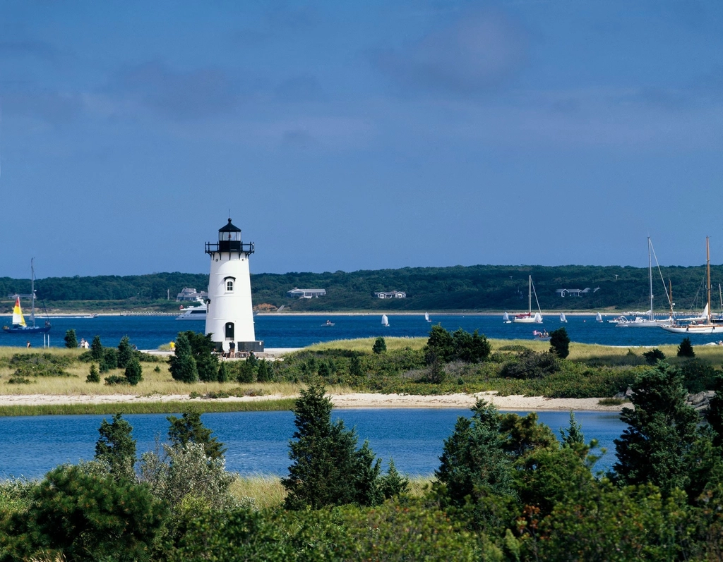
The Center for Coastal Studies, located in Provincetown, announced in a press release it has completed a two-year coastal resiliency and sea level rise study on Martha’s Vineyard. A presentation about the study’s results will take place on Wednesday, August 3, from 4 to 6 pm, at Sailing Camp Park in Oak Bluffs. Mark Borrelli, a coastal geologist and director of the center’s seafloor mapping program, will be the presenter.
The study, titled “Mapping Storm Tide Pathways in the Six Towns of Martha’s Vineyard: Assessing Coastal Resiliency to Storms and Sea Level Rise,” was funded by the Massachusetts Office of Coastal Zone Management’s Coastal Resiliency Grant Program and the Martha’s Vineyard Commission, mapping 716 storm tide pathways on the Island. Storm tide pathways are routes flowing water would take in low-lying coastal areas, according to the center’s website. The study found that “for every six-inch increase in water level, an average of 350 acres of land (between 213 – 778) acres are impacted. And a one-foot rise in sea level would permanently inundate approximately 700 acres, across a spectrum of between 464 and 1,076 acres, respectively.”
The release states the study also found 47 storm tide pathways that have the potential to flood 767 acres of land that have not seen flooding in almost 100 years. For low-lying roads, depending on a storm’s severity, between 36 and 91 roads will face flooding of at least one foot of water. Additionally, the release said, around 20 miles across 58 roads will be flooded during a “storm of record,” or the highest high tide of the year.
“It is essential that Vineyard towns prepare for the inevitable flooding that will occur in these areas,” the release states.
The release said the center has been studying storm tide paths since 2014, and this information can be used by the department of public works and other officials to respond to mitigate floodwater on a “street by street basis.” A presentation about the Martha’s Vineyard study’s progress was also given in December.
The presentation in August is free, but requires registration, which can be done at bit.ly/3oC0LAV. For more information about storm tide pathways, visit bit.ly/3oyhRjs. The center has also been mapping the storm tide pathways of Nantucket and Cape Cod with an interactive map, which can be found at stormtides.org.