Chappaquiddick is isolated in the winter. The miles of sand beach that attract visitors in the summer are deserted. But the snow and ice do not slow changes to the natural landscape. That is most evident in the dynamic changes taking place at the breach that separates Wasque Point and Norton Point Beach.
In a cycle centuries old, Norton Point Beach is beginning to overlap Wasque Point as a prelude to sealing the breach that has left Chappaquiddick an island in fact as well as in name.
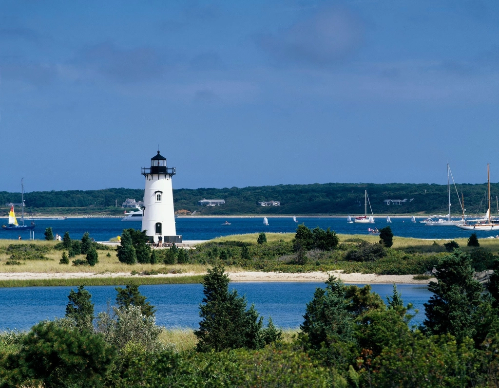
Carl Treyz, a seasonal Chappy resident and skilled amateur photographer, captured the changes using a drone on Feb. 18. His dramatic aerial video can be seen above.
Woody Filley, a Chappy resident who has been closely monitoring the breach, provided an update in an email dated March 1.
“The width of the opening is down to about 150 feet, depending on the tide,” Mr. Filley said. “The growth of Norton Point to the east between Jan. 3rd and today was approximately 690 feet. The beach on the way out seems pretty stable, with some scouring on the ocean side. As you get closer to the Chappy side, the beach gets thinner in some areas, and in some places is not much higher at the ocean side than the bay side. Unfortunately, a good extra-high spring tide and some strong northwest winds could threaten another opening. But time will tell.”
Chris Kennedy, Martha’s Vineyard superintendent for The Trustees of Reservations, said there’s a good chance the opening may close by this summer, but it is unlikely beachgoers in over-sand vehicles (OSVs) will be able to travel onto or off Norton Point via Wasque, as there is still a sizable cliff to contend with along the Wasque shoreline. “I expect that OSVs will have to travel from the Dike Bridge down Leland Beach to drive onto Norton Point Beach where it attaches at Wasque Point,” he said.
The current cycle began in April 2007, when a one-two punch of storm-driven ocean waves and powerful spring tides knocked open a cut in Norton Point Beach. The result was two long, narrow spits of sand stretching east and west toward one another. Over the course of the past eight years, the cut has continued to migrate eastward to Wasque Point, in a natural cycle, recorded many times in the past four centuries, in which the cut eventually disappears into Wasque Point.
This cycle was described in detail as part of a report prepared in connection with the relocation of the Schifter house from the edge of the disappearing Wasque bluffs.
Following months of preparation by a team of engineers, contractors, and builders, in July 2013 International Chimney Corp. of Williamsville, N.Y., a company that specializes in building relocation, moved the 8,313-square-foot, seven-bedroom seasonal home of Richard and Jennifer Schifter of Washington, D.C., including its foundation, basement bowling alley, and massive two-story chimney, back from the brink to an adjoining lot 275 feet away.
The Woods Hole Group (WHG), an international environmental, scientific, and engineering consulting organization headquartered in Falmouth, prepared an eight-page analysis of the historical shoreline changes and coastal geomorphology for the south-facing shoreline of Chappaquiddick for Mr. Schifter. Dated Dec. 11, 2012, the report provided a historical context for the breach.
The report described the three-stage natural history of periodic breaks in Norton Point Beach, the two-mile-long barrier beach that separates Katama Bay from the Atlantic Ocean.
In the first stage, ocean waves and tidal levels combine to punch a hole in vulnerable spots in the barrier beach.
During stage 2, the inlet begins to migrate east toward Chappaquiddick, and the dominant easterly-flowing shoreline current causes the Norton Point spit to grow. As that spit extends to the east, the barrier beach on the Chappy side of the inlet tends to shorten and erode.
The process of easterly inlet migration and barrier spit growth occurs until the eastern barrier is completely eroded and Norton Point begins to overlap the southwest corner of Chappaquiddick. During this middle phase of stage 2, the absence of a sediment source from the west, in combination with tidal currents directed against Chappaquiddick, causes rapid erosion of the south-facing shoreline.
In stage 3, the tidal channel that connects Katama Bay to the Atlantic Ocean eventually closes, as tidal currents are not strong enough to flush sediment from the opening. Waves gradually push the Norton Point barrier spit to the north, and the beach eventually welds onto Chappaquiddick.
Finally, during the last part of stage 3 the beach/dune system begins to retreat as ocean waves, tides, and currents cause erosion. The process continues until a new breach in the Katama Bay barrier forms, and then the cycle starts over.